
Overview
Geospatial statistics are published by the Singapore Department of Statistics (DOS) and provide valuable insights into the geographical distribution and characteristics of Singapore's population. These statistics offer a comprehensive view of how residents are distributed across the island, their demographic profiles by location, and various socio-economic indicators at the geographical level.
Other subjects in this theme
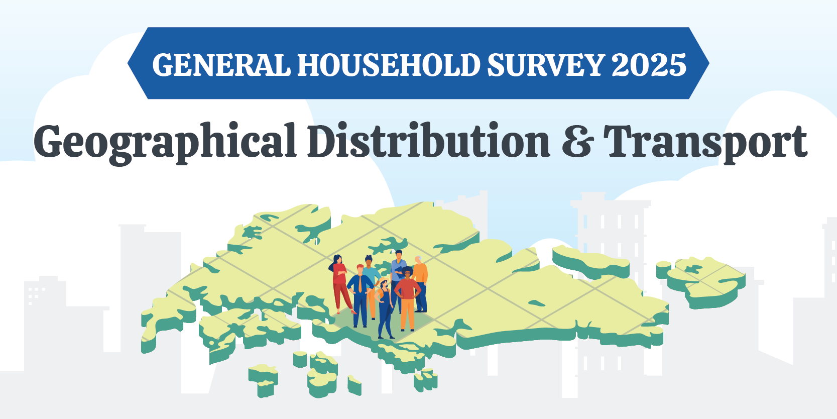
General Household Survey 2025 - Geographical Distribution and Transport
Explore the latest data on geographic distribution, mode of transport to work or school, and travel time to work from the General Household Survey 2025!
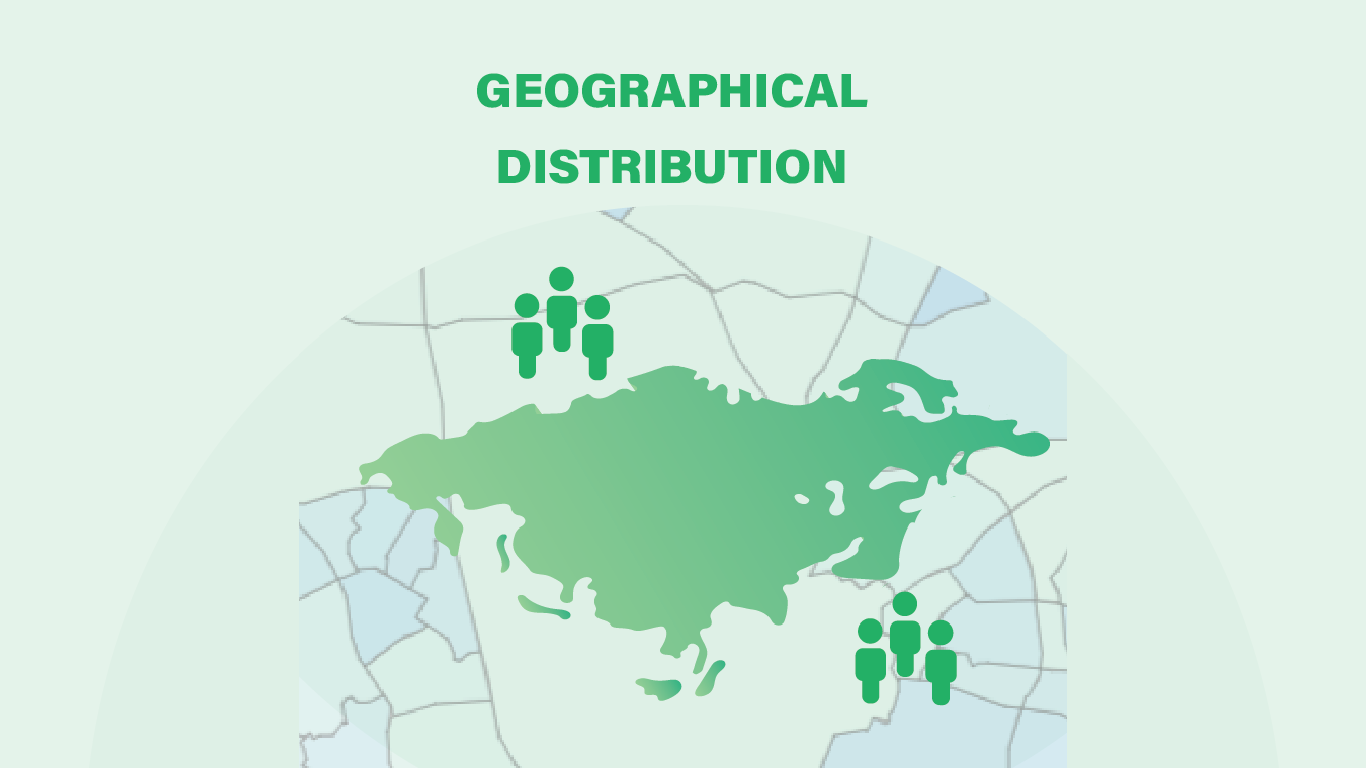
Geographical Distribution
Explore the latest data on geographical distribution of Singapore’s resident population, patterns, and trends by planning areas and subzones.
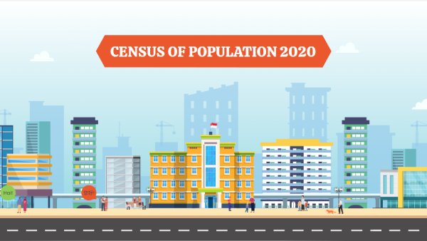
Census of Population 2020
An animated Census 2020 snapshot on literacy, religion, married couples, geographical distribution, transport and difficulty performing basic activities
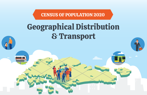
Census of Population 2020 - Geographical Distribution and Transport
Find out more on the latest data on geographic distribution, mode of transport to work or school and travelling time to work among residents from the Census of Population 2020 in this infographic!